Boundary Surveys
A boundary survey establishes the legal property lines of a parcel described in a deed, and identifies easements, encroachments, and any limitations imposed by state or local regulations. It’s the survey most landowners need before building a fence, selling, splitting a lot, or resolving a line dispute.
- Best for
- Landowners, buyers, sellers, fence and building projects.
- You get
- Marked corners and a signed, sealed boundary plat.

Construction Staking & Layout
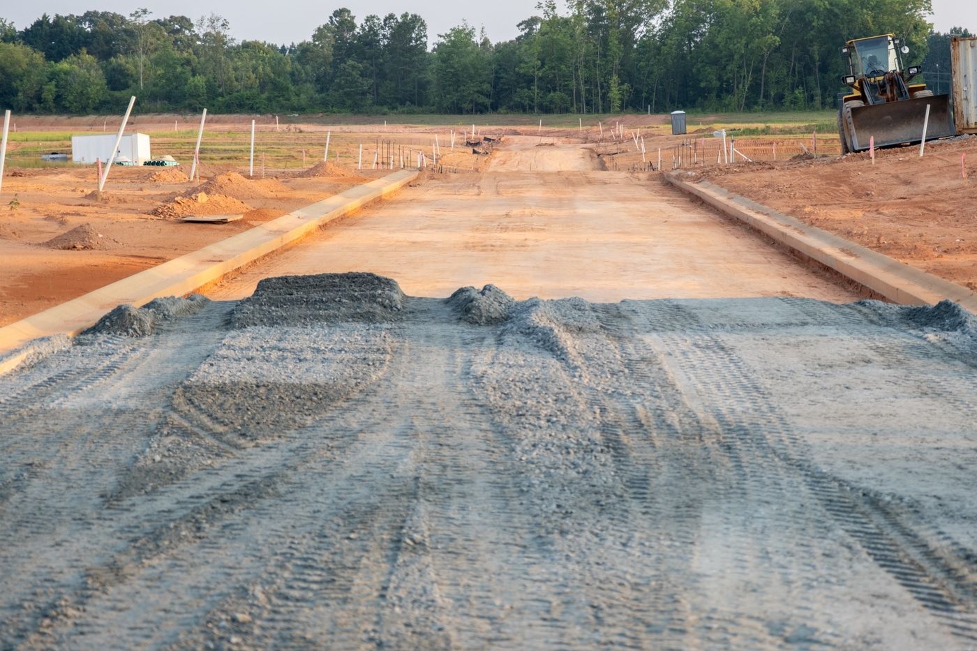
Construction staking translates engineered plans into precise stakes on the ground, so crews build structures, roads, utilities, and pads in exactly the right place. Accurate layout prevents costly rework and keeps inspections and schedules on track.
- Best for
- Builders, developers, contractors, site work.
- You get
- Offset stakes, grade information, and layout for building corners, curbs, and utilities.

Oil & Gas Surveys
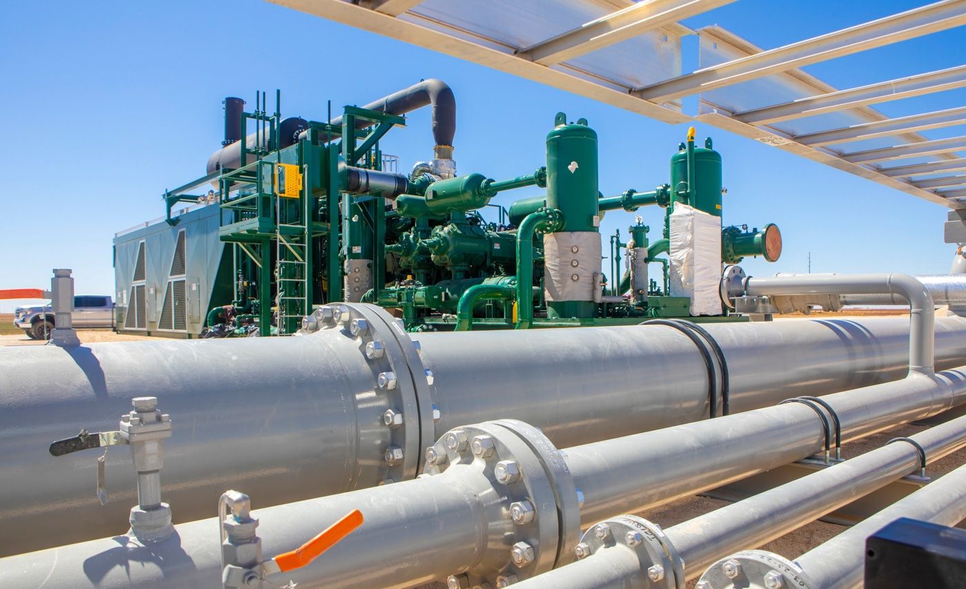
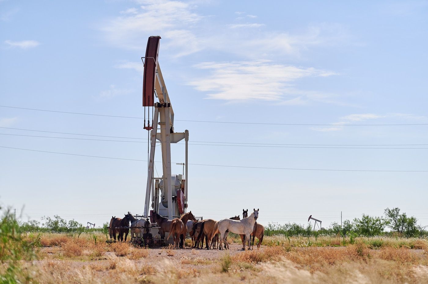
We stake and map well locations, pads, access roads, and pipeline routes for oil and gas operators across Mississippi and Alabama. Our crews are experienced working in remote, wooded, and active-site conditions and coordinate with your drilling and construction schedules.
- Best for
- Oil & gas operators, midstream, and their contractors.
- You get
- Well and pad staking, as-builts, and route mapping.

ALTA/NSPS Land Title Surveys
An ALTA/NSPS survey is the detailed, standardized survey required for most commercial real estate transactions and title insurance. It shows boundaries, improvements, easements, encroachments, and access, meeting the national standard lenders and title companies rely on.
- Best for
- Commercial buyers, lenders, title companies, attorneys.
- You get
- A survey certified to current ALTA/NSPS standards.

Title & Mortgage Surveys
A title or mortgage survey confirms the location of improvements relative to property lines and easements to satisfy a lender or closing. It’s a common requirement for financing residential and commercial property.
- Best for
- Buyers, sellers, lenders, closings.
- You get
- The survey documentation your closing requires.

Flood Elevation Certificates
A FEMA Elevation Certificate documents your structure’s elevation relative to the base flood elevation. It’s used to determine flood insurance rates, support permitting, and confirm compliance in flood-prone areas, and it can significantly affect your insurance premium.
- Best for
- Homeowners, buyers, lenders, insurance, permitting.
- You get
- A completed, signed FEMA Elevation Certificate.

Topographic Surveys
A topographic survey maps the elevations, contours, and natural and man-made features of a site. Engineers, architects, and developers use it as the design foundation for grading, drainage, and construction.
- Best for
- Design professionals, developers, site planning.
- You get
- A contour map with spot elevations and site features.

Utility, Route & Right-of-Way Surveys
We survey and map corridors for utilities, roads, and pipelines, establishing right-of-way, easements, and route alignment across long distances and multiple parcels. Essential for infrastructure planning, acquisition, and construction.
- Best for
- Utilities, pipeline & road projects, ROW agents.
- You get
- Route and ROW mapping, easement documentation, and control.

Subdivision Plats
When land is divided into lots, a subdivision plat defines the new parcels, streets, and easements for county approval and recording. We prepare plats that meet local requirements so your development can move forward.
- Best for
- Developers, landowners splitting property.
- You get
- A recordable subdivision plat.

GPS Control Points & As-Builts
We establish GPS control points that tie your project to accurate, repeatable coordinates, and produce as-built surveys documenting what was actually constructed. Both keep large projects precise and defensible.
- Best for
- Engineers, contractors, multi-phase projects.
- You get
- Control point network and as-built documentation.